Emerald Coast Condo Map
Gulf Front

Tagganale

8718 E Co Hwy 30A, Seacrest, FL 32461

Walton County · Seacrest

By Josh Parish, Founding Editor · Updated 08/28/2026

3D Flyover

Aerial 3D flyover, generated from Google Earth. Not a walk-through tour of the building.

Tagganale is a Gulf-Front building in Seacrest, FL, built in 2006, standing 3 stories with 3 condos. Short-term rentals are allowed, sale prices fall in the $3.1M–$3.8M band, and on-site amenities include a pool and gated entry.

2006
Built
3
Units
3
Stories
Gulf Front
Frontage
Allowed
Rentals
Google Maps →Street View →
Amenities
  • Pool
  • Elevator
  • Gated
Map
Showing 0 of 42Pick a group to place its pins.

Closest by car: private Gulf-front beach; grocery Publix - WaterSound Town Center (1.4 mi); town center Alys Beach (0.9 mi); hospital Ascension Sacred Heart Emerald Coast (17 mi); airport Northwest Florida Beaches Intl (ECP) (15 mi).

Customary Use
Customary Use

Tagganale sits right on the Gulf. Along this coast, the wet sand below the mean high-water line is always open to the public. Where a beach has been rebuilt with public money, that open stretch can reach farther up, to a marked Erosion Control Line. The dry sand in front of it changes partway. One stretch falls under a recorded public-access agreement from the county's beach settlement. The next was granted public use by a court in 2024, and a 2025 change to state law reopened that question. Reflects the public record as of June 2026.

How customary use works on the Emerald Coast →

County and court records. Editorial assessments are the author's own. Not legal advice.

Geographic Overlays
Geographic Overlays
FEMA flood zone (parcel): VE, X
FIRM panel: 12131C0716H, effective 12/30/2020
Base flood elevation: 12 ft
Coastal Barrier Resources System (CBRS): Outside all three
Coastal Construction Control Line (CCCL): Landward
Evacuation zone: A
Critically eroded shoreline: Critical. Florida DEP designates the Seacrest Beach to Inlet Beach shoreline (R105.5 to R127.4) as critically eroded — the state's term for a beach where erosion now threatens buildings, roads, parks or habitat. A restored beach keeps that designation so it stays eligible for state money to maintain it. Seacrest Beach is threatened by erosion of the bluff, and a 1.4-mile gap where nearly all building sits landward of the control line was added so the federal project could be managed as one stretch. The nearest point of that stretch sits about 950 feet from this building.
Structural Integrity Reserve Study (SIRS): Complete — on file with DBPR
Source: Florida DBPR SIRS Reporting Database (D7) — pre-July-2025 + July-2025-and-after lists, searched 2026-07-31 · as of 07/31/2026
Source: FEMA NFHL (https://hazards.fema.gov/arcgis/rest/services/public/NFHL/MapServer) layer 28 Flood Hazard Zones — flood zone, SFHA and base flood elevation; layer 3 FIRM Panels — FIRM panel and effective date. USFWS/USGS CBRS Mapper (https://gis1.wim.usgs.gov/server/rest/services/CBRSMapper/CoastalBarrierResourcesSystem/MapServer) layer 3 CBRS Units — CBRS status. Florida DEP (https://ca.dep.state.fl.us/arcgis/rest/services/OpenData/COASTAL_ENV_PERM/MapServer) layer 2 Coastal Construction Control Lines — CCCL position; layer 3 Coastal Critical Erosion Areas — critically eroded shoreline, read against FDEP's Critically Eroded Beaches in Florida, August 2025, in which Okaloosa and Walton were last revised June 2014. Florida DEM (https://services.arcgis.com/3wFbqsFPLeKqOlIK/ArcGIS/rest/services/Evacuation_Zones_20230608/FeatureServer) layer 12 Evacuation_Zones_20240226, last edited 2024-02-26 — evacuation zone. · as of 2026-07-27
County parcel record
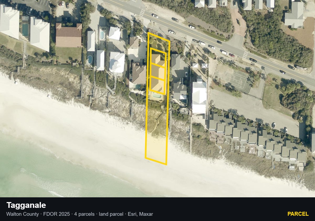
Tagganale — Parcel parcel record
Parcel08/20/2026Walton County · FDOR 2025 · Esri/Maxar
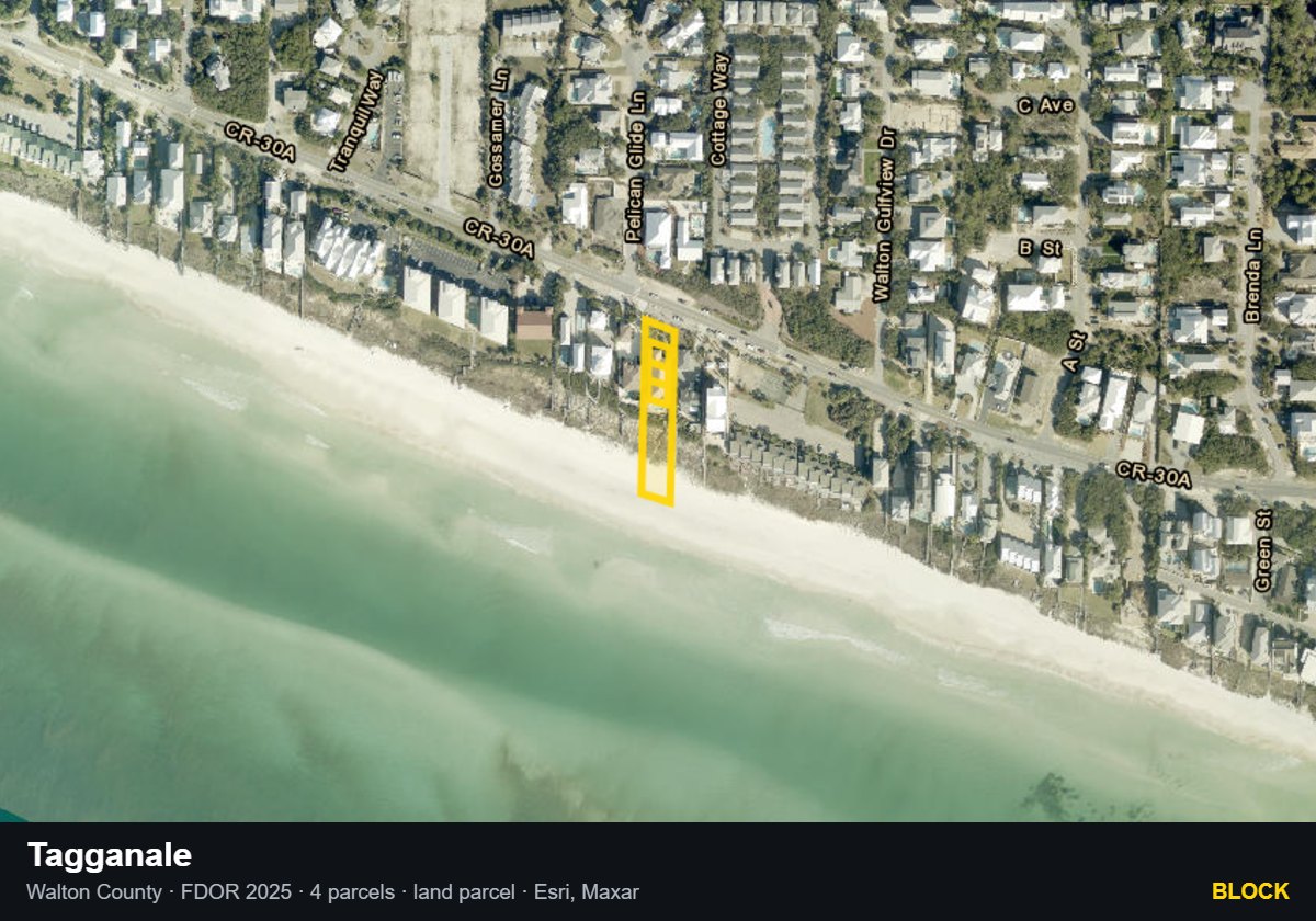
Tagganale — Block parcel record
Block08/20/2026Walton County · FDOR 2025 · Esri/Maxar
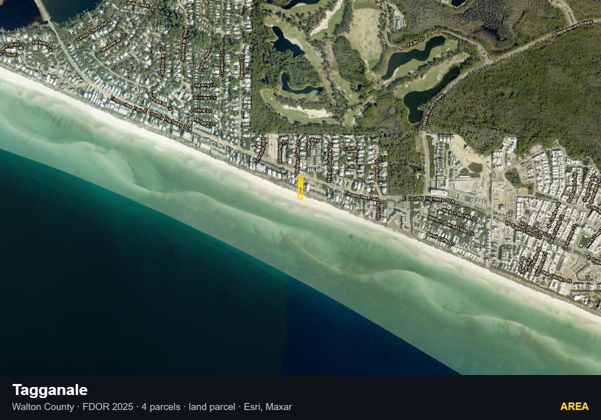
Tagganale — Area parcel record
Area08/20/2026Walton County · FDOR 2025 · Esri/Maxar
Association & Recorded Documents
Association: Tagganale Owners' Association, Inc.
Declaration: Declaration of Condominium recorded 02/09/2006, OR Book 2708 Page 723 (instrument #934320)
Use Rules
Minimum rental term: No minimum lease term; each Unit restricted to residential or rental use with no duration floor (Decl. Art. XII, §12.1).
Common Questions

What is the minimum rental term at Tagganale?

No minimum lease term; each Unit restricted to residential or rental use with no duration floor (Decl. Art. XII, §12.1). The declaration is the property's recorded rulebook, filed in the county records. Source: Walton County official records, instrument #934320.

Has Tagganale filed a structural integrity reserve study?

Yes. A structural integrity reserve study is a state-required engineering study of a building's big-ticket parts and the money set aside to replace them. Tagganale is listed complete and on file with the Florida Department of Business and Professional Regulation. Source: Florida DBPR SIRS Reporting Database, searched 07/31/2026.

What is the owners association at Tagganale, and when was its declaration recorded?

The association of record is Tagganale Owners' Association, Inc. Recorded declaration: Declaration of Condominium recorded 02/09/2006, OR Book 2708 Page 723 (instrument #934320). Source: Walton County official records.

The Buyer's Intelligence Report

Get the Buyer's Intelligence Report

What the report covers: HOA financials, milestone and SIRS status, insurance, comps, and county records — compiled in one place for Tagganale.

Prepared and delivered by Josh Parish, Emerald Coast Acquisitions · Destin, Florida. Access requires a signed buyer-broker agreement.

Building facts verified against the County Property Appraiser parcel records. Editorial assessments, metrics, and vibe are the author's own.