Emerald Coast Condo Map
Inland

Grande Pines

202 Sandestin Ln, Sandestin, FL 32550

Walton County · Sandestin N

By Josh Parish, Founding Editor · Updated 08/28/2026

3D Flyover

Aerial 3D flyover, generated from Google Earth. Not a walk-through tour of the building.

Grande Pines is a village in Sandestin, FL, within the Sandestin North community, built in 2008, standing 1 story with 12 condos. Short-term rentals are allowed, prices fall in the $500K–$1M band, and on-site amenities include a pool, gated entry, and a marina.

2008
Built
12
Units
1
Story
Inland
Frontage
Allowed
Rentals
Google Maps →Street View →

Part of Sandestin North

Amenities
  • —Pool
  • —Gated
  • —Marina
Map
Showing 0 of 26Pick a group to place its pins.

Closest by car: public beach access — 9 min drive; grocery — Publix - Grand Boulevard (0.2 mi); town center — Grand Boulevard at Sandestin (0.3 mi); hospital — Ascension Sacred Heart Emerald Coast (0.2 mi); airport — Destin-Fort Walton Beach Airport (VPS) (16 mi).

Geographic Overlays
Geographic Overlays
FEMA flood zone (parcel): A, X
FIRM panel: 12131C0543H, effective 12/30/2020
Coastal Barrier Resources System (CBRS): Outside all three
Coastal Construction Control Line (CCCL): Landward
Evacuation zone: B
Source: FEMA NFHL (https://hazards.fema.gov/arcgis/rest/services/public/NFHL/MapServer) layer 28 Flood Hazard Zones — flood zone, SFHA and base flood elevation; layer 3 FIRM Panels — FIRM panel and effective date. USFWS/USGS CBRS Mapper (https://gis1.wim.usgs.gov/server/rest/services/CBRSMapper/CoastalBarrierResourcesSystem/MapServer) layer 3 CBRS Units — CBRS status. Florida DEP (https://ca.dep.state.fl.us/arcgis/rest/services/OpenData/COASTAL_ENV_PERM/MapServer) layer 2 Coastal Construction Control Lines — CCCL position; layer 3 Coastal Critical Erosion Areas — critically eroded shoreline, read against FDEP's Critically Eroded Beaches in Florida, August 2025, in which Okaloosa and Walton were last revised June 2014. Florida DEM (https://services.arcgis.com/3wFbqsFPLeKqOlIK/ArcGIS/rest/services/Evacuation_Zones_20230608/FeatureServer) layer 12 Evacuation_Zones_20240226, last edited 2024-02-26 — evacuation zone. · as of 2026-07-27
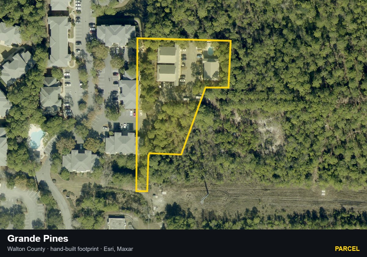
County parcel record
Grande Pines — Parcel parcel record
Parcel08/20/2026Walton County · hand-built footprint · Esri/Maxar
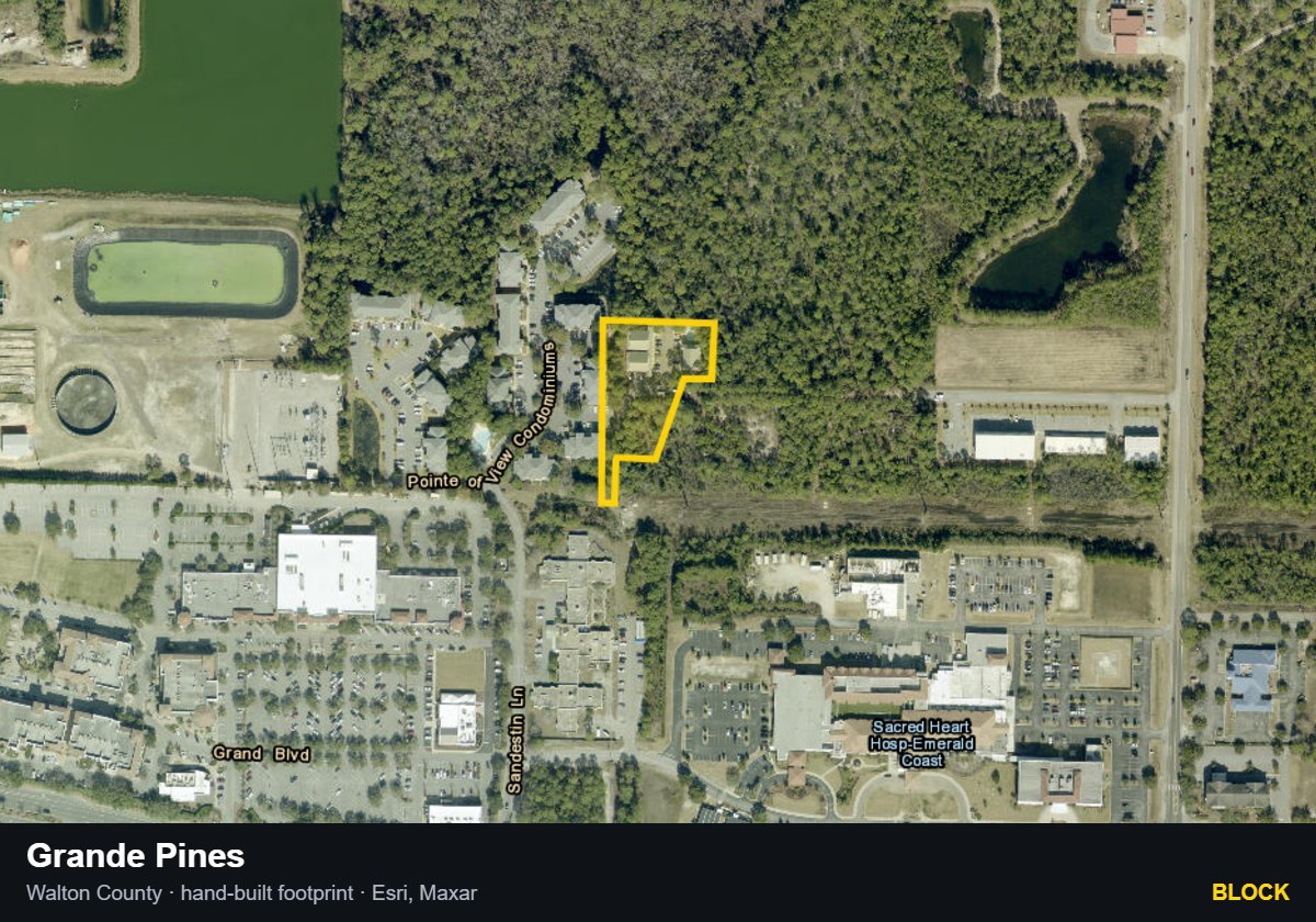
Grande Pines — Block parcel record
Block08/20/2026Walton County · hand-built footprint · Esri/Maxar
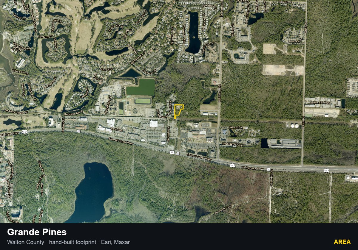
Grande Pines — Area parcel record
Area08/20/2026Walton County · hand-built footprint · Esri/Maxar
Association & Recorded Documents
Association: Grande Pines Condominium Association, Inc.
Declaration: Declaration of Condominium for Grande Pines Condominium recorded 11/26/2008 (instrument #1061220)
Use Rules
Minimum rental term: Minimum lease term one (1) week.
Common Questions

What is the minimum rental term at Grande Pines?

Minimum lease term one (1) week. The declaration is the property's recorded rulebook, filed in the county records. Source: Walton County official records, instrument #1061220.

What is the owners association at Grande Pines, and when was its declaration recorded?

The association of record is Grande Pines Condominium Association, Inc. Recorded declaration: Declaration of Condominium for Grande Pines Condominium recorded 11/26/2008 (instrument #1061220). Source: Walton County official records.

The Buyer's Intelligence Report

Get the Buyer's Intelligence Report

What the report covers: HOA financials, milestone and SIRS status, insurance, comps, and county records — compiled in one place for Grande Pines.

Prepared and delivered by Josh Parish, Emerald Coast Acquisitions · Destin, Florida. Access requires a signed buyer-broker agreement.

Building facts verified against the County Property Appraiser parcel records. Editorial assessments, metrics, and vibe are the author's own.